Hinton Ampner
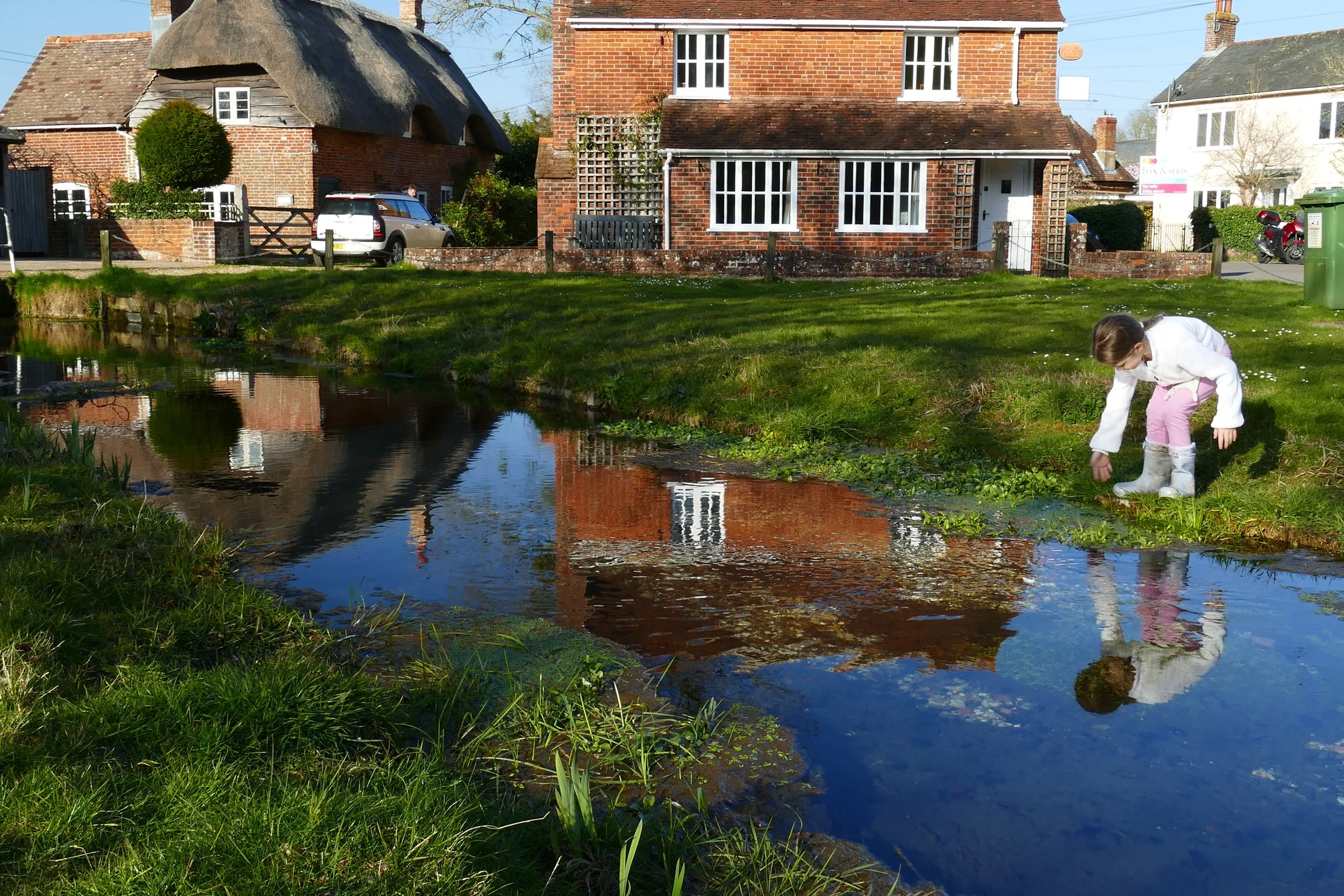
Children will enjoy a visit to the National Trust property on this walk or a play in the streams at Cheriton.
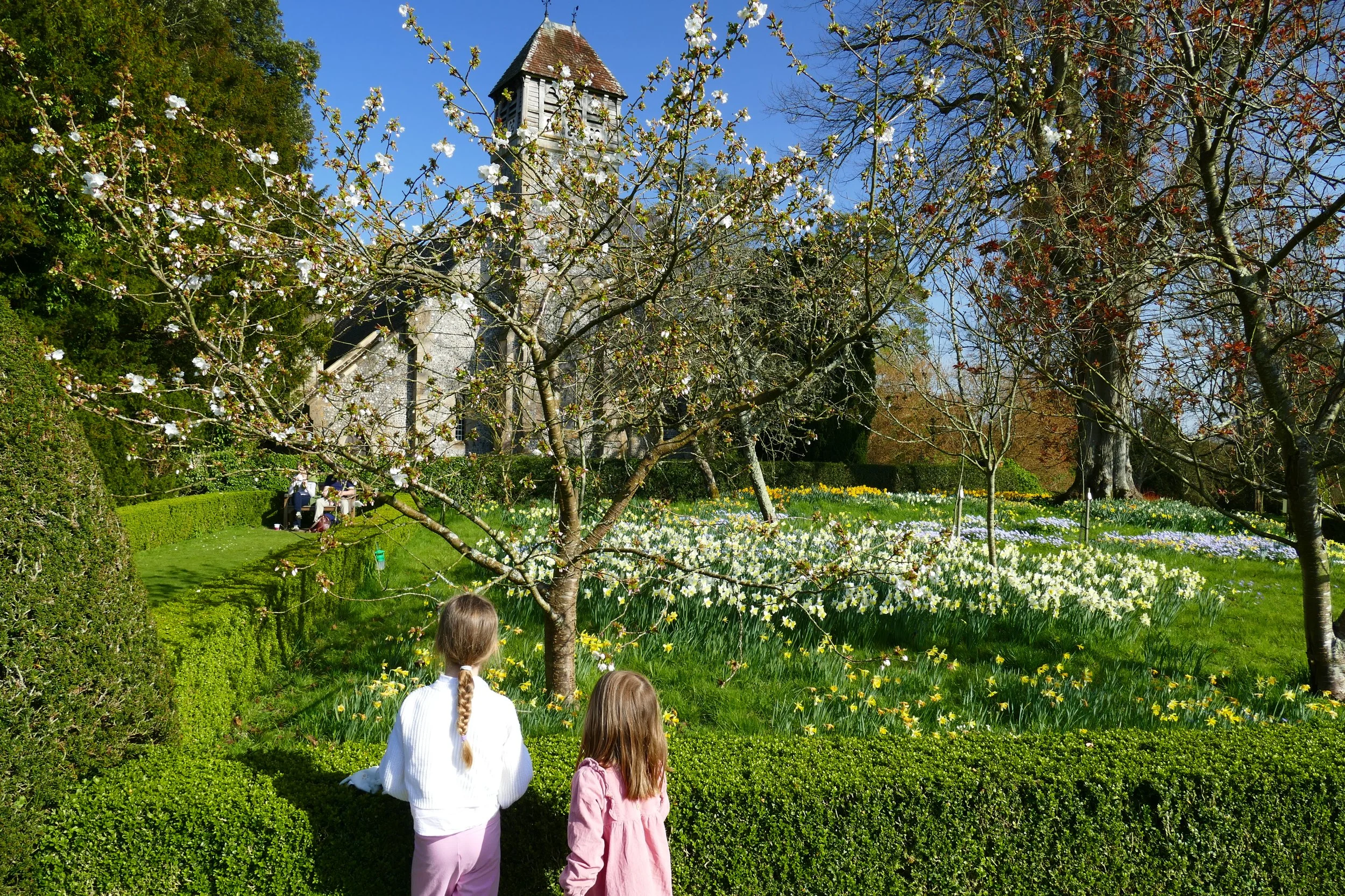
Blossom and daffodils at Hinton Ampner (tickets needed for this)
The Basics
Time: 1hr 20mins
Distance: 4km
Terrain: Fields tracks, quiet lanes, narrow bridge and a busy road crossing
Pushchairs: No
Dogs: Yes, on leads around livestock
Refreshments: National Trust Cafe at Hinton Ampner or The Hinton Arms on Petersfield Road
Toilets: Only if visiting the house
Public Transport: The 67 Stagecoach bus route from Winchester to Petersfield stops along the A272 from where you can join this walk
Parking: If visiting Hinton Ampner, you can park in the visitor’s car park and start the walk from there (Postcode: SO24 0LA - W3W: keener/jeeps/decorator) . If you just want to do the walk, then we advise parking in Cheriton on School Lane (Postcode: SO24 0QA - W3W: conforms/lately/relations)
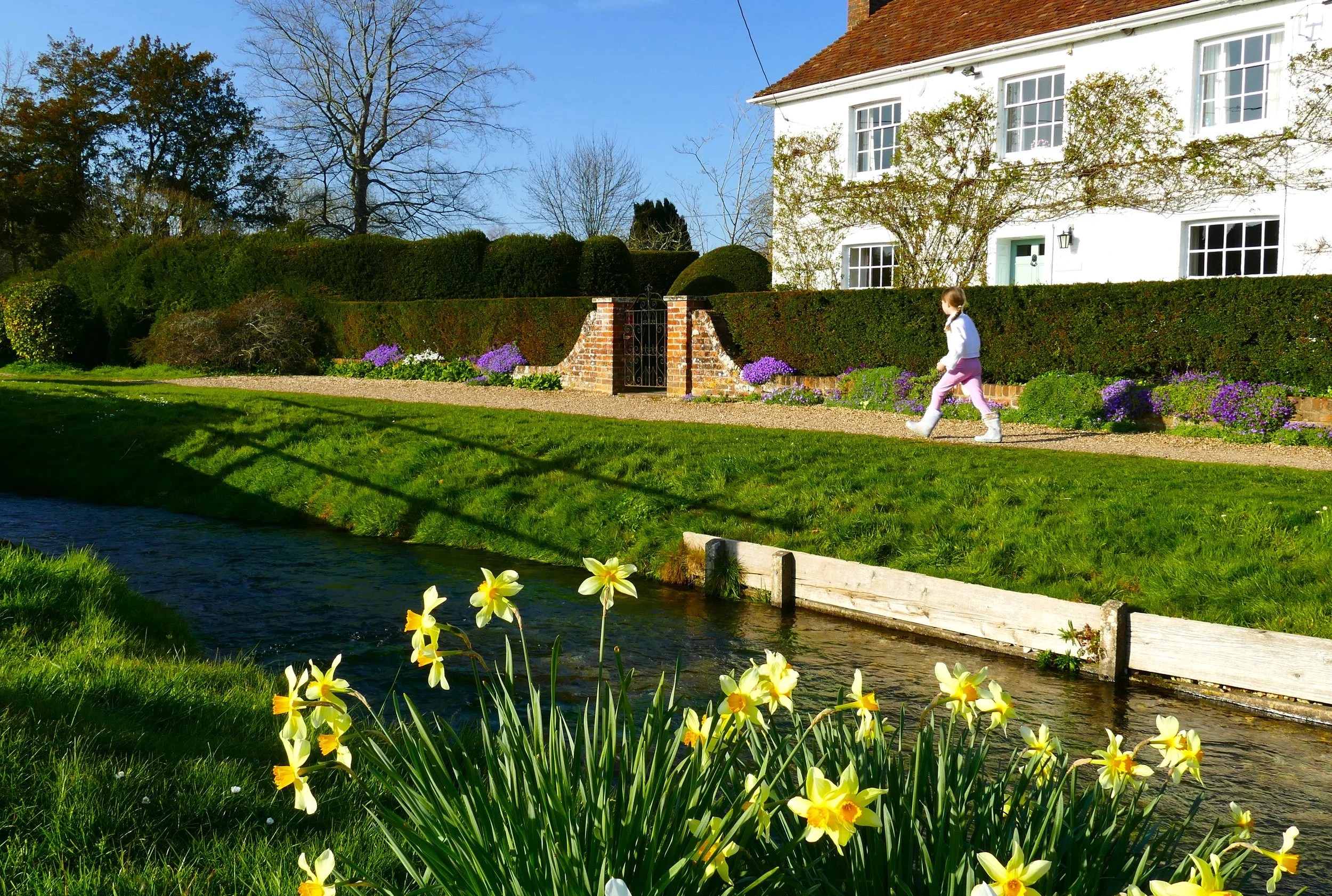
Cheriton village
This walk encircles the National Trust property of Hinton Ampner, which is well worth stopping off at for its house and gardens, before looping through the pretty village of Cheriton where you will find a young River Itchen and a historical battle sight.
The Route
To begin the walk from Cheriton, take the lane passing directly in front of the school and then take the footpath on your left at the end of this lane, signed Wayfaire’s Way. This path will pass narrowly between the backs of different properties and you should continue, rising steadily, until at the top of the hill the path opens up.
At the corner of the first open section, turn right, following the finger post. Keep to the edge of the field with a fence to your left and a hedge to your right, before turning left along the top edge of the field, again with a fence to your left and a hedge to your right.
You will then arrive at a cross point of paths. Turn right and then almost immediately look for the gap in the hedge on your left and hop over the little wooden rail into the field and take the path going diagonally across the middle. At the opposite corner of the field, descend steeply down the bank and onto the grassy track. Take the path heading south towards the road.
After passing a couple of cottages, look out for the information board depicting The Battle of Cheriton, which took place in the field to your right. Cross the A272 and follow the lane opposite up the hill towards Hinton Ampner.
Nip through the gap at the side of the gates, entering the grounds of Hinton Ampner (If visiting Hinton Ampner, you can begin the walk at this point).
Turn left at the footpath marker beside the church and then take the right hand path. This will loop around the boundary of the gardens, and you will get a few sneak peaks over the hedges and gates as you walk around.
At a cross of paths, go right and walk parallel to the front of the house. Stay on this path until you reach Kilmeston Road, a quiet country lane. Turn right and pass by a pond that marks the source of The River Itchen.
Pass through New Cheriton and take care crossing the A272 again. Turn right and follow the verge next to the A272 for a very short while before taking the foot path on your left opposite The Hinton Arms.
Cross the field and go over the very narrow footbridge that is not much more than a plank of wood! At the opposite side of the field, go through the gate and pass narrowly between properties. When you get to the road take the foot path on your right and follow this until you come to the cross point of paths again mentioned at the start of section 3. Here you should go left and retrace your steps to return to Cheriton or follow sections 3,4 and 5 to return to Hinton Ampner.
A visit to the National Trust property as part of this walk is highly recommended, especially in spring for the daffodils and blossom.
We suggest viewing this interactive map as a ‘Trails Map’ to ensure you see all the paths:
Did you know?
The Battle of Cheriton took place on 29th March 1644 and was an important Parliamentary victory during the English Civil War. Defeat ended Royalist hopes of retaking South East England.


