Hilsea Lines
Portsmouth
On this walk, children will enjoy scooter friendly paths, a play area, swans and ducks, a café accessed via a tunnel and lots of military history to unravel. There is even a splash pad and lido in the summer months!
The sandy play area next to the lido
The Basics
Time: 50 minutes
Distance: 2.8 km
Terrain: Flat, even paths. If you want to visit the play area, you will need to cross an overpass with busy traffic below
Pushchair: Yes (and wheelchairs, scooters, bikes etc)
Dogs: Yes
Refreshments: Casemates Café, Hilsea Lines Cafe at The Lido or there are lots of picnic benches around the lines
Toilets: Hilsea public toilets beside the shell garage or in the splash pad compound when it is open
Public Transport: Hilsea is well served by busses with its own bus station right by the start of this walk
Parking: You can either park in the free Portsbridge Car Park accessed on the south bound carriageway beneath the underpass, just after the exit from the M27 (Postcode: PO2 9RR - W3W: zeal/stove/gums) or you can park at the Lido Car Park adjacent to the play area/Hilsea Lagoon for free (you need to come up the north bound carriageway and find the lane labelled on the tarmac as ‘lido’ running through the bus station) (Postcode: PO2 9RP - W3W: rinse/serve/hits)
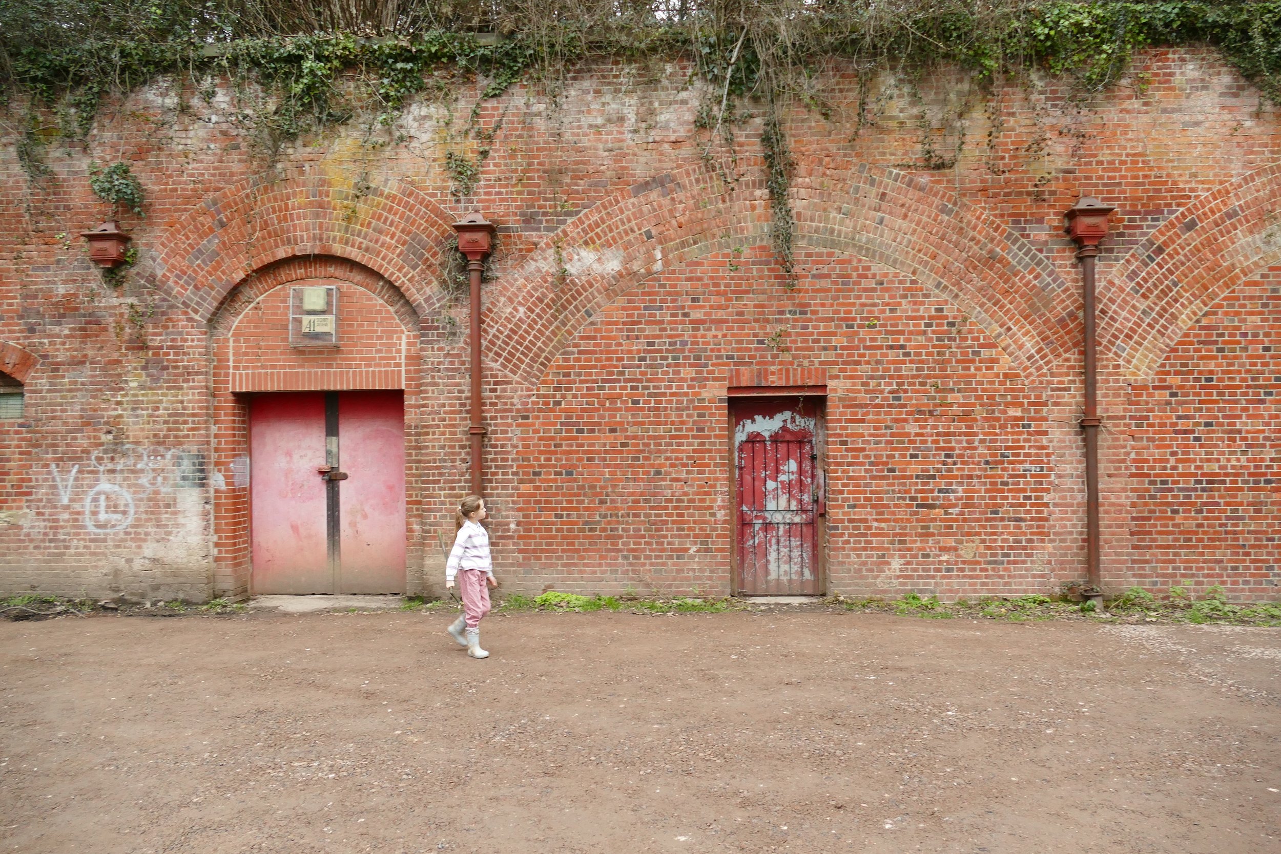
Entrances to some of the old bastions near Casemates Café
Hilsea Lines are a scheduled ancient monument close to the centre of Portsmouth. As well as being steeped in military history, this little corridor of green at the top of Portsea Island has woodland, lagoons, moats, tunnels, a park, a café and a splash pad - all connected by pushchair friendly paths.
The Route
If you start from beside the play area, you will need to use the overpass to cross the road to gain access to The Lines. The overpass will bring you down directly into the Portsbridge Car Park, where you can begin your walk.
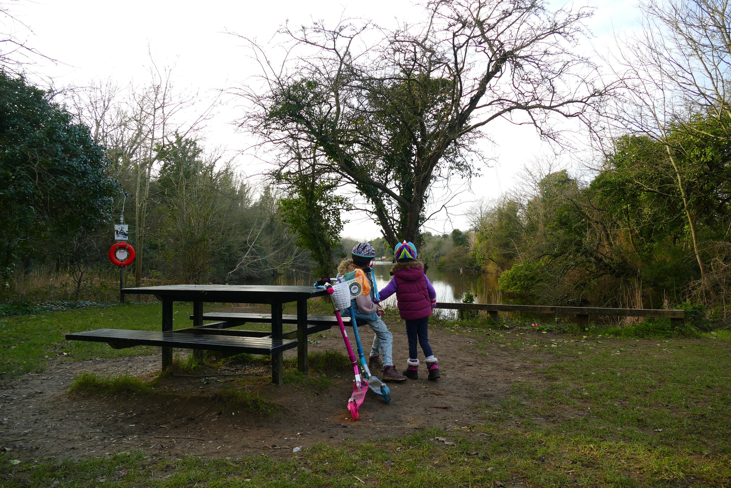
Take the path heading east out of the car park away from the road. You will walk with the water on your right and can spot swans and other waterfowl from the wooden platforms.
You will come to a new wooden footbridge which you can cross and then turn left. After a few metres you will hit the terminus of Peronne Road, which you should cross to continue on the footpath.
Along this section of the path, you should keep the water of the moat to your left and the mounds of a series of bastions will become visible on your right. This nature reserve is known locally as Foxes Forest and is the only wooded area on Portsea Island. Children will enjoy finding doors, tunnels and other remnants of the fortifications hidden amongst the undergrowth. Look out for signs to Casemates Café where you can buy hot or cold drinks by taking a diversion through a tunnel in bastion four.
Back on the path, the walk is really very simple from here. We walked as far as the railway bridge (where the footpath is currently blocked due to building work - Feb 2023) and then returned along the path on the other side of the moat, with Portsbridge Creek to our right. There are plenty of maps on boards along the way to help you to navigate this.
When the path is open, you can continue past the railway bridge, perhaps as far as The WWI Remembrance Centre or Anchorage Park with another play area.
We recommend viewing the map as a Trails Map:
Did you know?
The Hilsea Lines are a line of 18th- and 19th-century fortifications built to protect the northern approach to Portsea Island, home to the city of Portsmouth.
We are passionate about keeping The Ambling Path as a free resource available to everyone, forever. If you have enjoyed using our walking guides, then please consider leaving us a donation. This will help to cover our costs as well as rewarding the considerable time and effort needed to maintain the site. Thank you.


