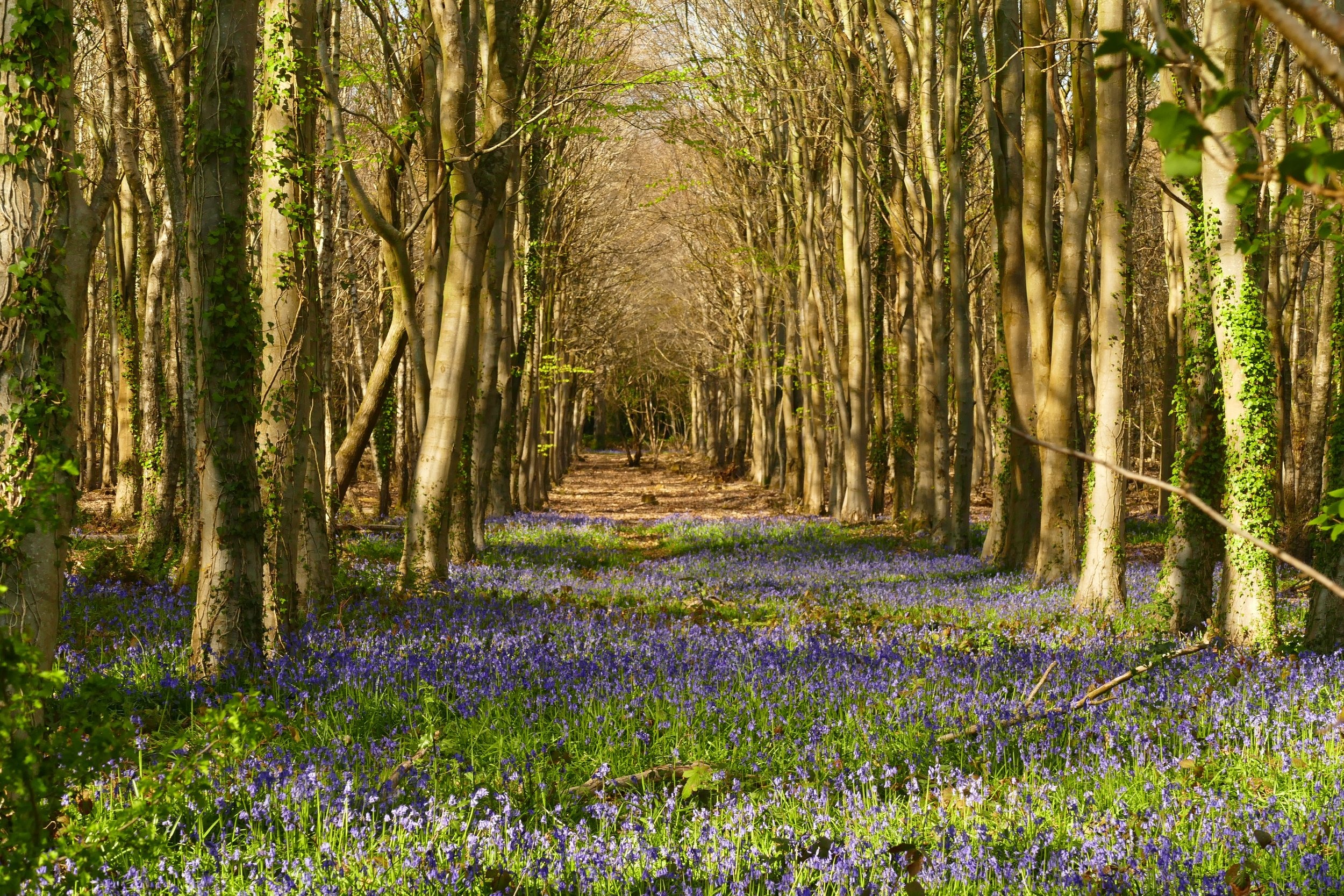
Harting Down
South Harting
Children will enjoy a picnic with a view and playing on the large grassy area on this walk.
Wonderful views over South Harting
The Basics
Time: 4.2 km
Distance: 1 hour 20 mins
Terrain: Grassy paths, chalky paths, a short steep descent and ascent
Pushchair: Not for the main walk, but you could probably manage it for the short alternative
Dogs: Yes, but should be on leads. There are cattle being used to graze areas.
Refreshments: A picnic at the top or the nearby pretty village of South Harting has the White Hart Inn
Toilets: None
Public Transport: There is no public transport to this walk
Parking: National Trust Car Park, using the Pay by Phone app only (Postcode: GU31 5PN - W3W: grew/convert/cascaded)
The Vandalian Tower
Harting Down is one of the largest areas of ancient down chalkland cared for by The National Trust. The views from the top are incredible and a network of paths makes it easy to explore. It is hard to walk in the area without encountering any hill climbs, but we have carefully designed our route to make it as child friendly as possible, with just one, short ascent.
The Route
Leave the car park across the path heading away from the road, perpendicular to the line of parked cars. You will soon come to a large gate, which you should go through. On the other side, stick with the same path, continuing away from the car park. You will have vast open views to your left, with South Harting village down below with its distinctive church spire. It is worth looking back along this section of the path to get views of the striking hilltop Vandalian Tower.
Do not deviate from the main path until you come to a point where there is a scrubby hedge in front of you and you have no option to fork left or right. Here you should chose the left hand path, which descends to a little wooden gate. The path surface changes here from grassy to a more chalky soil. We found this to be quite slippery in winter, so take care.
Pass by the little wooden gate and continue to descend with the path. You will eventually reach the base of a valley and will see a charming finger post built up around a stone pile with a bench attached. You will see the eye-wateringly steep Beacon Hill ahead. We have never convinced the children to climb this with us, but I am told the views are superb if you fancy the diversion. To continue this walk, however, you need to turn right, along the first footpath in that direction.
The path will follow the base of a valley, named Bramshott Bottom. Continue through the valley until you reach a dewpond with a wooden fence around it. Look out for the footpath going up the wooded hill just after the dewpond.
Take this footpath through a dark and atmospheric yew tree wood called Kill Devil Copse. There is only one path to take and you should stick with it as it climbs and then bear right as it levels. Once on a more level footing the path will provide you with a fork, and you should chose the right hand one. This will lead you back out of the trees onto the downland again.
Turn left at the end of the trees/fence and walk across the downland. There is a very gradual ascent to this grassy path. When the fence to your left hits a corner, you should round it to your left. Keep going and the car park should start to come into view ahead of you.
If you want a much shorter, flatter walk that suits all abilities, you can simply follow the same path out of the car park as above, but before the path descends in point 2, you could return to the car park along the lower path that runs parallel on the other side of the hedge.
You cannot enter the Vandalian Tower as it is on private property, but you can gat a closer look if you are particularly curious by following the South Downs Way to the left as you come out of the car park.
Did you know?
The ruins you see in the distance our those of the Vandalian Tower, a folly built to commemorate the formation of the British colony of Vandalia in The Americas. The colony was short lived, as was the tower, and only the ruins remain on the site which is now part of The Uppark Estate, also managed by The National Trust.
My daughter was interested to know what the hundreds of little mounds were that we encountered, partcicularly on the section through Bramshott Bottom. I wasn’t sure, but some research has told us that they are the mounds of the yellow meadow ant. The dome of soil helps them to regulate the temperature of their colony.
If you enjoyed this walk…
…try this one at Butser Hill, another South Downs walk with amazing views
We are passionate about keeping The Ambling Path as a free resource available to everyone, forever. If you have enjoyed using our walking guides, then please consider leaving us a donation. This will help to cover our costs as well as rewarding the considerable time and effort needed to maintain the site. Thank you.


